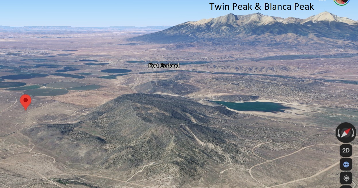
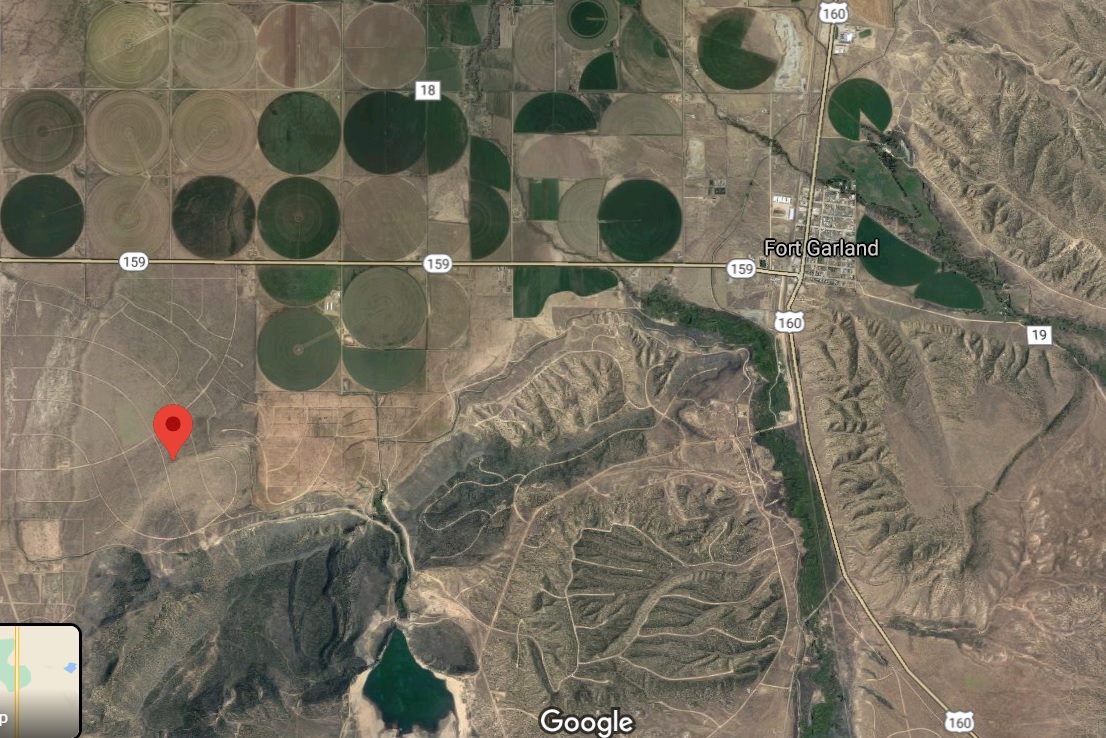
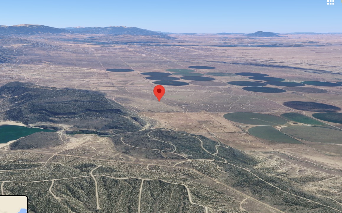
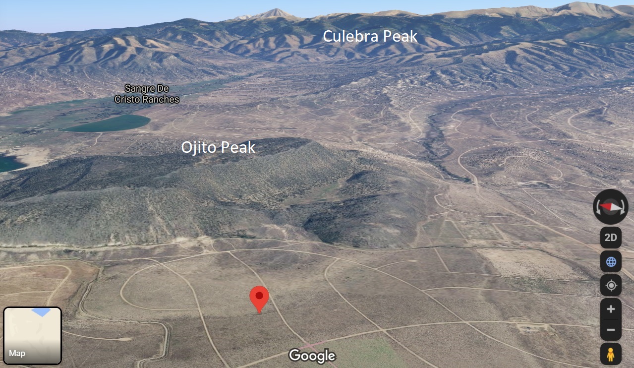
In the shadow of Blanca Peak and Ojito Peak, just a few miles outside of Fort Garland, Colorado, we have a brand new 5-acre plot APN# 702 02 300.
Cash Price: $4,999
Info about Fort Garland:
Elevation: 7,936′
Area: 240 acres
Zip code: 81133
Population: 587 (2018)
More Info about Fort Garland – click here


GPS Coordinates:
NW 37.3745 N, 105.4123 W
NE 37.3749 N, 105.4108 W
SW 37.3731 N, 105.4119 W
SE 37.3735 N, 105.4103 W
Address: Englewood Rd between Tyellyn Rd and Governor Rd.
Parcel Size: 5.083 Acres
$199 down, $199 document fees
